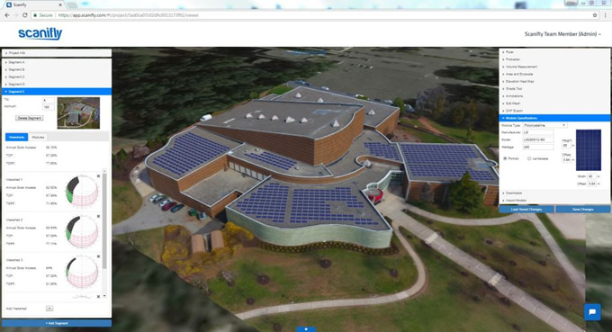
Booth #42 - We just released a ground mount feature, whereby the rows of modules automatically track the terrain of a site, allowing the array to mirror the topography underneath it.
Contributed by | Scanifly
Your company will be presenting at NABCEP CE Conference, what is it that makes this an important event for your company?
Scanifly’s objective is to help build a world powered by renewable energy and preserved by sustainable design. We are accelerating solar’s growth by integrating drone imaging and 3D mapping into the surveying, design and analysis stages. We believe every engineer should have a drone in their toolkit. The NABCEP conference gives us a chance to meet our users and share with them how our technology is reducing surveying time, cutting design costs, and improving accuracy and safety.

What can an attendee to your presentation expect to learn this year?
Scanifly’s session will cover everything you need to know about solar + drones: what drone to buy, how to incorporate drones and 3D mapping into your workflow, how to fly drones, and best practices for building an inhouse or third party drone team. Additionally, Scanifly will discuss the benefits of designing projects with real world context, creating approved shading reports without going on the roof, and maximizing 3D modelling software.
Any new or recently released products you will be showcasing?
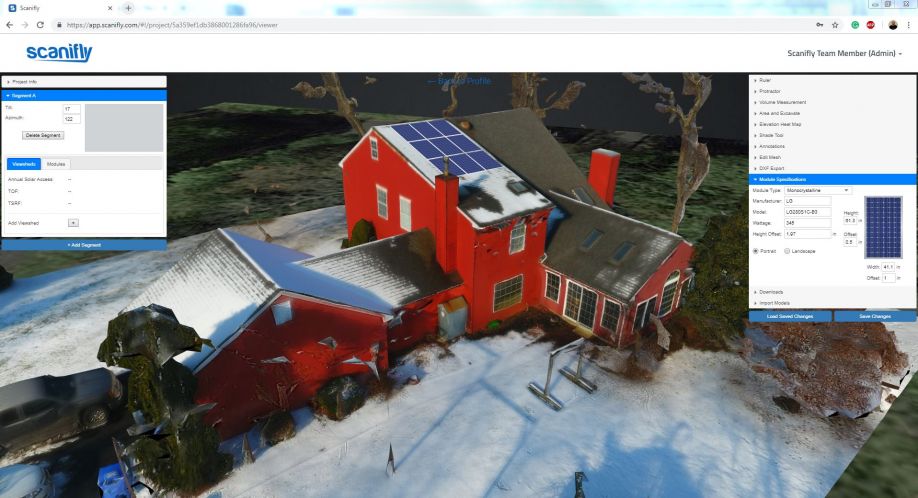
We just released a ground mount feature, whereby the rows of modules automatically track the terrain of a site, allowing the array to mirror the topography underneath it. With our software, this creates “real-world context”, which leads to more accurate shading analysis and production estimation.
When you get a chance to walk the exhibit hall floor yourself, what is it you will be most interested to see?
We find that every solar integrator develops projects differently. Each company has their own internal process. We are interested in learning more about the steps solar companies take to get their projects to construction, and the tools and equipment they use.
How about Panel sessions, do you intend to sit in on any of these this year?
Wednesday’s session on Worker Safety looks intriguing. Safety continues to improve with new equipment and robotics. At Scanifly, we’re encouraging drone flights to eliminate ladder and roof risk for onsite assessments. We are curious if there are similar trends going on in construction and O&M.
When you book for an event like this what are your expectations and what does your company hope to accomplish at the event?
We are attending NABCEP to help solar developers integrate drone imaging and 3D mapping into their workflows. We believe that too many surveyors are still taping roofs and using manual shading tools. Design teams are estimating obstruction sizes. And 3D models are still made from scratch. We are bringing an automated solution to solar.
The content & opinions in this article are the author’s and do not necessarily represent the views of AltEnergyMag
Comments (0)
This post does not have any comments. Be the first to leave a comment below.
Featured Product


